
Top Benefits of Using a Lidar Drone for Accurate Mapping
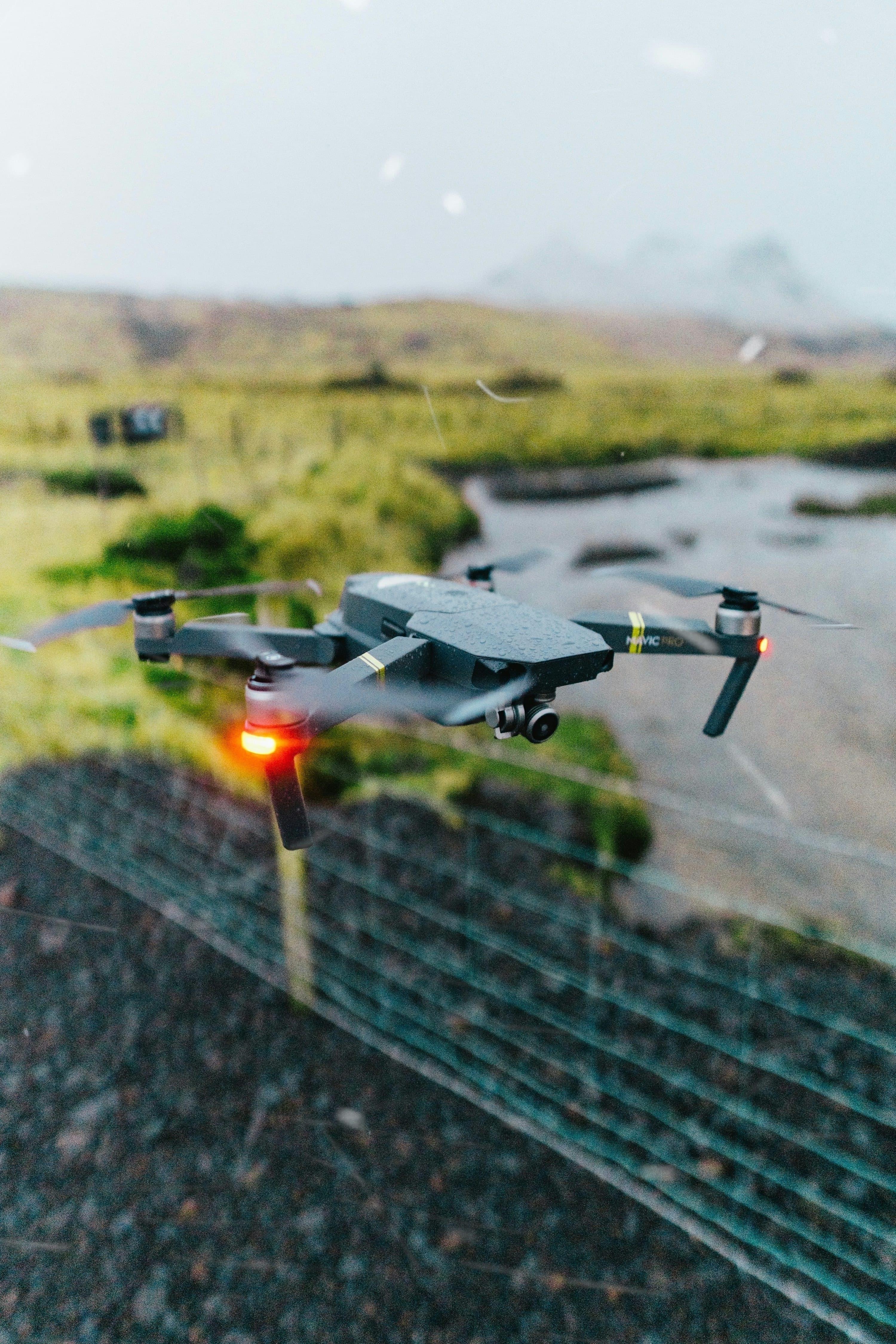
Lidar drone technology has revolutionized geospatial data collection, delivering unprecedented accuracy, efficiency, and versatility for mapping professionals. By integrating light detection and ranging (LiDAR) sensors with advanced UAV platforms, a lidar drone can swiftly scan vast terrains, generating precise 3D models and topographical maps that were once complex or cost-prohibitive to obtain using traditional surveying methods.
Enhanced Mapping Precision with Lidar Drone Systems
The standout advantage of a lidar drone lies in its ability to capture high-resolution elevation data. Unlike photogrammetry, which relies solely on imagery, lidar drones emit rapid laser pulses to measure exact distances to surfaces. This technology ensures superior vertical and horizontal accuracy, even across dense forests or rugged landscapes. Organizations engaged in construction site planning, mining exploration, forestry management, and urban development find lidar drone surveys invaluable for capturing critical details, such as subtle elevation changes, which can dramatically influence design decisions.
- Ability to detect ground level even through vegetation cover
- Dense data point clouds for detailed surface modeling
- Minimal human error due to automated scanning
Speed and Efficiency Redefined

Deploying a lidar drone dramatically reduces fieldwork time. Instead of days or weeks spent on manual surveys, teams can cover several hundred hectares in a single flight session. This efficiency not only saves labor costs but also minimizes disruption in active zones like highways or construction areas. Operators can easily plan autonomous flight paths, collect precise georeferenced data, and process scans within hours, delivering faster project turnaround to clients.
Cost-Effectiveness in the Long Run
While initial investment in lidar drone hardware and processing software can seem substantial, these systems rapidly pay for themselves. Reduced reliance on large field teams, minimal site revisits, and lower insurance risks lead to tangible budgetary savings across mapping programs. Moreover, the high quality of data minimizes costly rework or on-site data gaps, streamlining workflows and increasing organizational profitability over time.
Seamless Integration with GIS and Modern Software Tools
Modern lidar drones are designed for compatibility with GIS platforms and advanced analytical tools, enabling swift transformation of raw point clouds into actionable digital elevation models (DEMs), contour maps, and orthomosaics. With direct data imports, professionals can conduct volumetric calculations, flood risk analysis, vegetation studies, and infrastructure inspections with ease.

Environmental and Sustainable Benefits
Lidar drone mapping offers a more environmentally conscious alternative to conventional surveying. UAVs powered by efficient batteries create less noise and reduce fuel consumption compared to ground vehicles or manned aircraft. The lightweight, low-impact flight paths avoid disturbing wildlife and preserve delicate ecosystems, making them ideal for conservation studies and protected land assessments.
Key Applications of Lidar Drone Mapping
- Forestry Management: Assess tree height, biomass, and canopy density for sustainable resource planning.
- Disaster Response: Quickly map affected areas post-flood or landslide to guide rescue operations.
- Infrastructure Inspection: Monitor bridges, roads, and utilities without obstructing civilian activity.
- Archaeological Documentation: Reveal hidden ruins beneath dense vegetation with fine detail.
As lidar drone technology matures, industries ranging from agriculture to urban planning are discovering transformative benefits for their mapping and surveying needs.
Operators can schedule routine scans for real-time monitoring, trend analysis, and regulatory compliance without extensive on-site logistics. The collected geospatial data serves as a permanent digital archive for future reference or litigation support, reducing organizational risk and enhancing planning foresight.
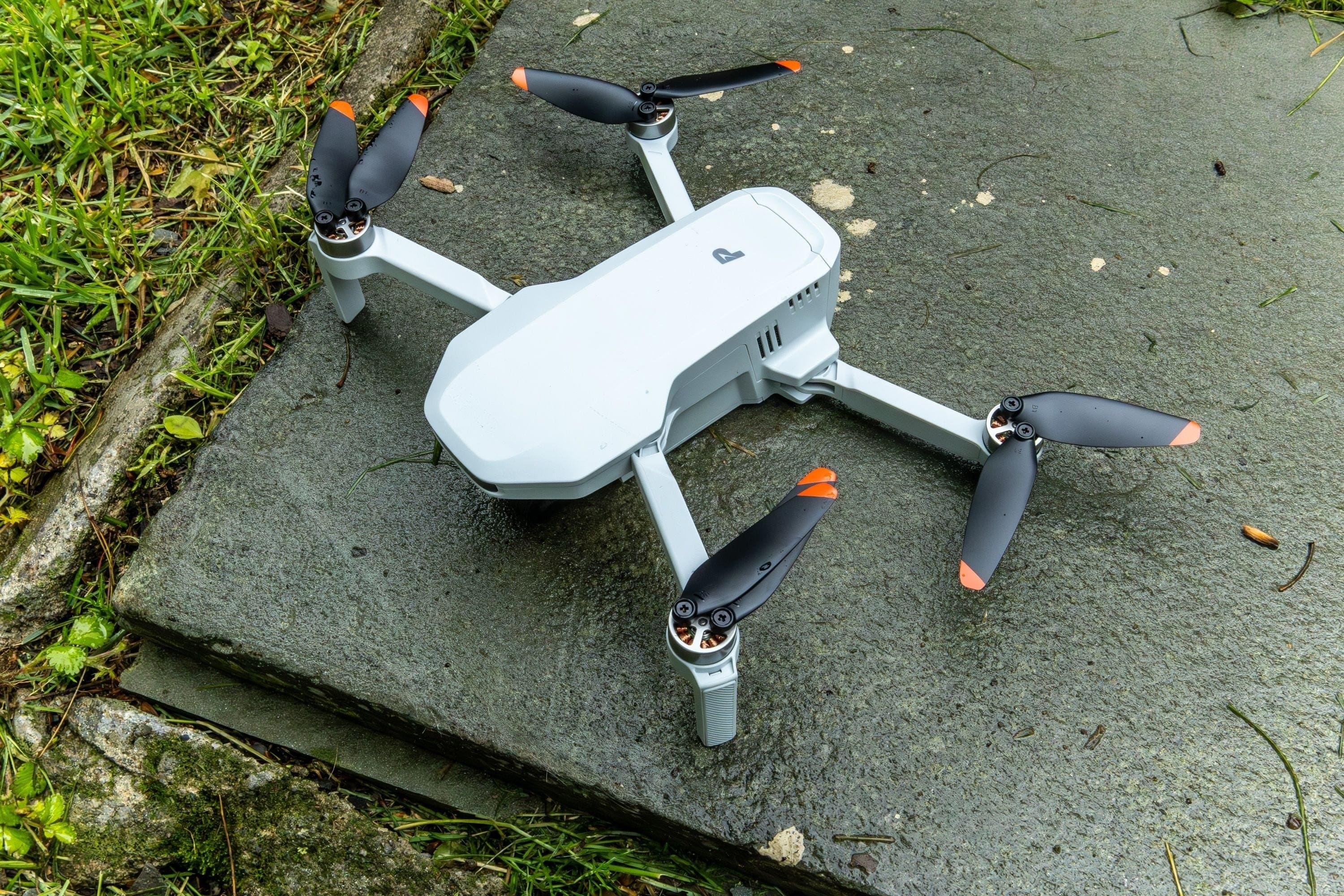
Considerations When Choosing a Lidar Drone
When investing in a lidar drone system, key factors to consider include sensor accuracy, flight time, payload capacity, and manufacturer support. Leading vendors offer modular designs, enabling hardware upgrades or integration with complementary sensors (like multispectral or thermal cameras) for advanced mapping missions.
Frequently Asked Questions About Lidar Drones and Mapping
- Can lidar drones map through dense vegetation?
- Yes, a lidar drone’s laser pulses can penetrate tree canopies, allowing accurate mapping of the terrain below, even in heavily forested areas.
- How accurate are lidar drone surveys compared to traditional methods?
- Lidar drones can achieve centimeter-level precision, often surpassing the results of ground-based or photogrammetric approaches, especially over complex terrains.
- What are the data processing requirements after a lidar drone flight?
- After a survey, point clouds must be processed using specialized software for filtering noise, georeferencing, and generating required map outputs. Most systems offer automated workflows to streamline this process.
Embracing a lidar drone for mapping dramatically boosts accuracy, operational safety, and workflow efficiency, equipping organizations to deliver high-quality, data-driven solutions in a rapidly evolving geospatial landscape.