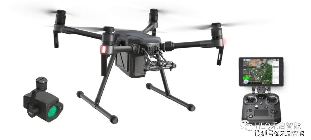
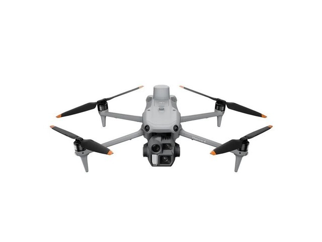
In recent years, drone surveying technology has emerged as a game-changer in the field of land mapping. This innovative approach utilizes unmanned aerial vehicles (UAVs) equipped with advanced sensors and cameras to collect data from the skies, offering unparalleled advantages over traditional surveying methods. With drone surveying, businesses and professionals can achieve greater accuracy, efficiency, and safety, transforming how we understand and manage our landscapes.
Advantages of Drone Surveying: Revolutionizing Land Mapping
Drones provide a unique vantage point that allows surveyors to capture high-resolution aerial imagery and extensive geographic data quickly. Here are some of the major advantages of drone surveying:
- Cost-Effectiveness: Compared to traditional surveying techniques, drones significantly reduce labor and equipment costs, making it accessible for smaller projects or firms.
- Enhanced Accuracy: Equipped with precision GPS technology and sensors, drones offer highly accurate measurements and detailed mapping data.
- Speed and Efficiency: Drones can cover vast areas in a fraction of the time it would take manual surveys, providing timely data for analysis and decision-making.
- Safety Improvements: Utilizing drones means reduced human exposure to hazardous environments, enhancing surveyor safety.
Applications of Drone Surveying
Drones are versatile tools that are applied in numerous fields beyond land mapping. Here are a few significant applications:
- Construction and Architecture: Drones provide ongoing project monitoring, 3D modeling of sites, and precise ground assessments, aiding in planning and execution.
- Agriculture: Agriculturalists utilize drones for crop monitoring, pest control, and optimizing irrigation systems.
- Environmental Research: Scientists use drones to monitor climate changes, track wildlife populations, and conduct ecosystem studies.
The Future of Drone Surveying
With the continuous advancements in drone technology, we can expect even more improvements. AI integration in drones could lead to automated data analysis and real-time decision-making, further enhancing the capability and reliability of land mapping processes. Additionally, the expansion of legal frameworks governing UAV usage will create new opportunities and applications for drone surveying technology in industry and research.
FAQ

- How accurate is drone surveying?
- Drone surveying can achieve centimeter-level accuracy thanks to high-resolution cameras and precision GPS.
- Is drone surveying environmentally friendly?
- Yes, drones have a minimal footprint compared to traditional survey methods, reducing emissions and disturbances to the landscape.
- Do I need special permission to conduct drone surveys?
- Yes, depending on your location and the country’s regulations, you may require specific permits for legal operations.

