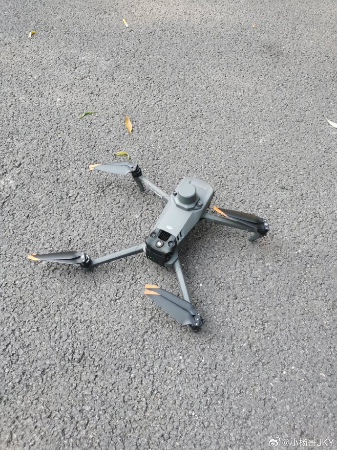
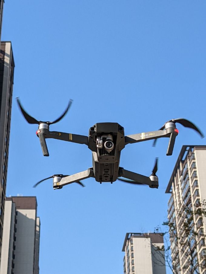
In recent years, the advent of drone technology has revolutionized various industries, and its application in mapping residential properties has gained significant traction. Drones equipped with advanced imaging and mapping capabilities are becoming the go-to tools for creating accurate 3D models of homes, topographical surveys, and property assessments. This guide explores the unparalleled benefits of using drones to map homes, highlighting their efficiency, cost-effectiveness, and transformative potential in real estate and construction industries.
Why Drones Have Become Essential in Home Mapping
Drones, otherwise known as unmanned aerial vehicles (UAVs), are compact flying devices often equipped with high-resolution cameras and modern sensors. When it comes to mapping homes, drones eliminate the need for labor-intensive manual measurements while ensuring precision and detail. These devices can collect data from elevated perspectives, making them exceptional tools for creating aerial maps and 3D models of properties. Whether for construction planning or real estate showcases, the applications are virtually limitless.
The Efficiency Factor in Using Drones
Mention efficiency in drone operations, and you’ll instantly think of how these devices expedite processes that would traditionally take weeks. For example, surveying irregular terrains, complex architecture, or large living spaces becomes quick and seamless. With drones, a task that would take days manually can be completed in minutes with precise imaging results. Additionally, they are particularly useful in urban environments where conventional equipment may face challenges due to restricted access.
Benefits of Cost-Effective Operations
Budget considerations are often pivotal for homeowners and contractors. Unlike traditional surveying methods requiring extensive staff, expensive hardware, and cumbersome setup, drones present a much more cost-effective alternative. Their ability to operate autonomously and cover large areas with minimal manpower reduces labor and operational costs, creating a viable solution for homeowners looking to understand their properties’ topography.
Precise 3D Modeling
One of the standout advantages of drones lies in their ability to deliver high-fidelity 3D models of homes and nearby landscapes. Using technologies like LiDAR and orthomosaic photogrammetry, drones can capture every nook and corner of a building with millimeter-level accuracy, which is beneficial for renovation projects, insurance assessments, or architects designing extensions. As a result, homeowners and professionals receive unparalleled insights into the property’s physical attributes.
Inspections Without Risks
Drones also play a critical role in conducting inspections for home exteriors, including roofs, chimneys, and other hard-to-reach areas. With their capability to fly into tight or hazardous locations, they reduce the need for human intervention in risky situations, improving safety standards while delivering high-definition visuals for evaluation. These inspections are vital, particularly for identifying wear and tear or potential issues before they escalate.

How Real Estate is Embracing Drone Technologies
Drones are reshaping how the real estate market presents properties to potential buyers. Imagine offering virtual tours with aerial views and precise home measurements—all through high-quality visuals captured by drones. Such presentations provide customers with a unique perspective, increasing transparency while boosting sales potential. Moreover, showcasing a property’s natural surroundings becomes easier, creating a compelling story for prospective buyers.
The integration of drones into real estate also fosters better customer engagement. Stunning drone footage and dynamic property maps allow realtors to stand out in an increasingly competitive market. It not only showcases properties but also highlights relevant features like nearby parks, schools, and amenities for a well-rounded experience.
Drone Mapping vs Traditional Methods
One major comparison in home mapping revolves around efficiency, accuracy, and costs. Traditional surveying might excel in some specific manual assessments, but it lacks the speed and broad-spectrum capability that drones offer. By providing aerial perspectives and geospatial detailing, the advantages of drone-based mapping far outweigh traditional methods, particularly when dealing with expansive properties or intricate designs.
Environmental Impact: A Greener Alternative
No more heavy-duty vehicles or energy-consuming machinery! Drones provide an environmentally friendly alternative by minimizing carbon footprints during operations. Their reliance on electric batteries rather than fossil fuels ensures sustainable practices, aligning with global efforts to reduce environmental harm.
Additional Applications in Construction and Renovations
Beyond just mapping, drones have carved their niche in construction and renovation projects as well. Their ability to monitor construction progress, identify discrepancies in planned versus actual structure designs, and assess material requirements makes them an indispensable tool for project managers and engineers. From managing timelines to minimizing wastage, drones enhance efficiency at every step.
FAQs on Using Drones for Home Mapping
Q1: Is drone mapping legal for residential areas?
A: Yes, drone mapping is legal, though regulations can vary by location. Ensure compliance with local laws and obtain necessary permits before commencing operations.
Q2: What resolution can I expect in drone-captured images?
A: The resolution depends on the drone model and camera equipment, but most professional drones offer high-definition or even 4K imagery.
Q3: How long does it take to map an average sized home?
A: Typically, mapping an average property using a drone can be completed within 30 minutes to a few hours, depending on the complexity and tools used.
