
Enhanced Accuracy and Efficiency
When it comes to construction, drone surveying plays a pivotal role by enhancing accuracy and efficiency. Traditional surveying methods are often labor-intensive and prone to human error, but drones mitigate these issues by capturing accurate data swiftly. With the ability to access hard-to-reach areas, drones provide real-time visuals and measurements, aiding in the project planning and monitoring stages. Construction managers can thus make informed decisions based on high-quality data collected through drone technology. This process not only accelerates timelines but also significantly cuts operational costs.
Bridging the Gap with Technology
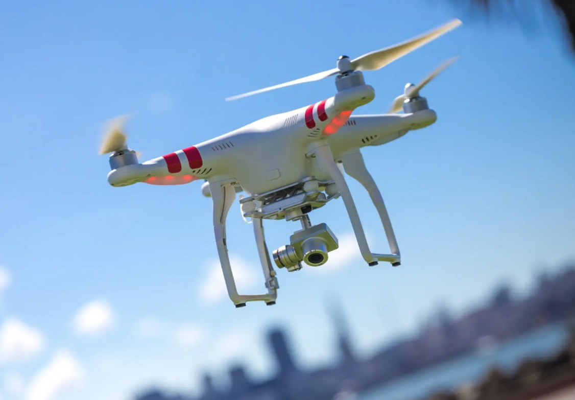
 The integration of technology in drone surveying is a game-changer. Equipped with LiDAR, thermal imaging, and multispectral cameras, drones can obtain various data types simultaneously, which leads to well-rounded insights into project sites. This technology is instrumental in identifying micro-topographical changes, which are crucial during initial site analysis and ongoing construction operations. Drone surveying grants the flexibility needed to adapt operations, rectify planning issues, and optimize resources effectively.
Safety and Environmental Impact
Besides operational benefits, drone surveying also contributes positively to safety and environmental impact. On construction sites, drones reduce the need for manual surveying in hazardous locations, safeguarding personnel and minimizing on-site accidents. Moreover, the environmental footprint of drone surveying is notably smaller. Reduced physical presence and lessened need for heavy machinery protect the surrounding environment, preserving its natural state while obtaining critical data.
Cost-Effectiveness and Future Outlook
Economically, drone surveying offers a cost-effective alternative. Quick deployment and minimal manpower significantly lower costs compared to traditional surveying. Drones provide cost savings which are crucial, especially as project budgets are continually scrutinized. Looking to the future, the evolution of drone technology promises further enhancements in data acquisition and processing speed, providing even more detailed insights and facilitating advanced analytics in mapping and construction.
As drone surveying continues to evolve, its application across various industries presents vast opportunities. Leveraging AI and machine learning will further amplify drone capabilities, predictive analytics will become increasingly attainable, and automated processes will streamline workflows significantly.
- What is drone surveying?
Drone surveying involves using unmanned aerial vehicles (UAVs) equipped with sensors and cameras to gather accurate geographical and spatial data. - How do drones improve construction site safety?
Drones minimize the need for human presence in hazardous areas, thereby reducing the risk of accidents and ensuring personnel safety. - Are drones environmentally friendly?
Yes, drones have a smaller environmental footprint, causing less disturbance and requiring fewer resources compared to traditional surveying methods.
In conclusion, drone surveying is a transformative tool in both mapping and construction, offering enhanced accuracy, efficiency, and safety while being environmentally considerate and cost-effective. Its evolution continues to promise significant industry advancements, making it an indispensable asset in the toolkit of modern surveyors.