Survey drones have rapidly transformed the landscape of data collection, offering precision, speed, and accessibility that were previously unattainable. Embracing cutting-edge technology, these drones bridge the gap between traditional surveying methods and innovative data analysis, providing accurate and real-time insights that are crucial in various industries, such as agriculture, construction, and environmental monitoring.
Advantages of Using Survey Drones
Survey drones bring an array of advantages to professionals embracing drone technology. Firstly, drones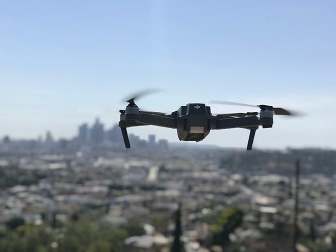 drastically reduce the time taken to perform surveys by eliminating the need for extensive groundwork. Their ability to cover large areas in minimal time increases efficiency and productivity, allowing for more frequent data collection and timely decision-making. Additionally, drones equipped with advanced sensors and cameras capture high-resolution images and videos, enabling detailed analysis and precise measurement.
Cost-Effectiveness and Safety
Another remarkable benefit is cost-effectiveness. Unlike traditional surveying methods, survey drones lower the need for substantial financial resources by reducing labor and equipment costs. Their autonomous capability also minimizes human intervention, thereby reducing the risk associated with hazardous surveying environments, such as steep terrains or construction sites. Thus, survey drones enhance safety while ensuring reliable data acquisition.
Improved Accessibility and Flexibility
Survey drones offer unmatched accessibility to remote and hard-to-reach locations, which may otherwise pose logistical challenges. Their flexibility allows them to adapt to various environments, making them ideal for extensive geological surveys or mapping unreachable ecosystems. This adaptability is crucial for detailed urban planning and infrastructure development, ensuring seamless integration into diverse applications.
Advanced Survey Drone Features
The current wave of survey drones incorporates cutting-edge features that elevate their functionality and precision. Equipped with GPS technology, drones offer pinpoint geographic positioning, enhancing navigation and accuracy in surveying. Additionally, their integration with AI and machine learning technologies facilitates smart data processing, automatically identifying patterns and generating actionable insights.
Data Accuracy and Real-Time Insights
State-of-the-art sensors provide unparalleled data accuracy, essential for industries where precision matters, such as land surveying and resource management. The ability to deliver real-time insights allows stakeholders to make informed decisions quickly. These capabilities are invaluable during critical exploration projects or disaster assessments, where existing conditions demand immediate responses.
Survey Drones in Key Industries
Survey drones are indispensable in sectors like agriculture, where they play a pivotal role in crop monitoring, soil analysis, and irrigation planning. In the construction domain, drones facilitate site inspections and progress tracking, enhancing project management. Environmentalists leverage drones for wildlife inventory and habitat mapping, promoting conservation efforts through data-driven strategies.
Future Prospects of Survey Drones
As technology evolves, the potential applications of survey drones continue to expand. Their integration with other emerging technologies encloses further opportunities for automated mapping and prediction analytics, revolutionizing how data is collected and interpreted. Moreover, regulations are progressively adapting to accommodate drone usage, ensuring compliance and enhancing operational safety.
Frequently Asked Questions
Q: Can survey drones be used during adverse weather conditions?
A: While survey drones are robust, adverse weather might affect their performance and data accuracy. Pilots should assess and address each situation accordingly.
Q: How reliable is the data collected by survey drones?
A: Survey drones equipped with advanced sensors collect highly accurate data. Their reliability is contingent upon proper calibration and ideal operational conditions.
Q: Are there legal regulations concerning drone surveys?
A: Yes, drone operations are subject to regional regulations to ensure safe and lawful usage. Operators should familiarize themselves with the local requirements.