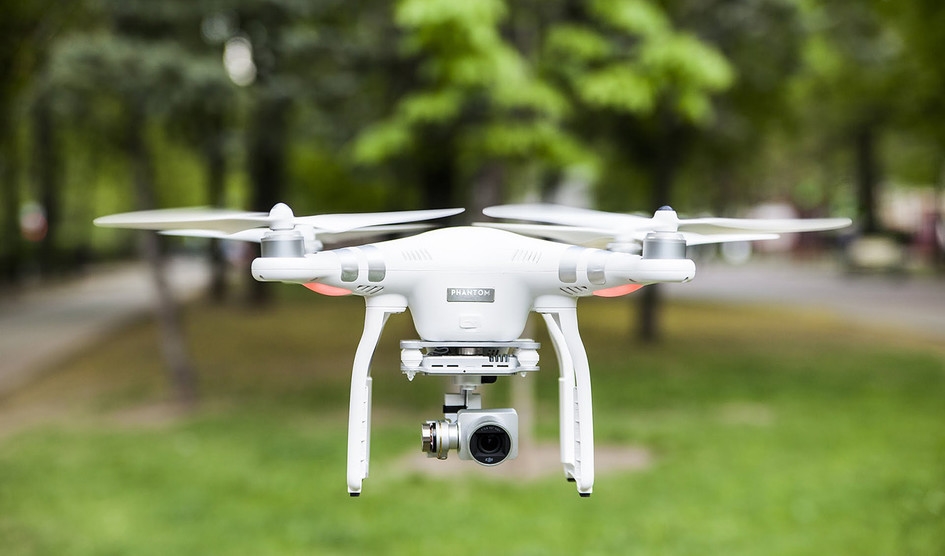
What are No-Fly Zones?
No-fly zones, often abbreviated as NFZ, are areas where drones are prohibited from flying due to various reasons such as security concerns, privacy issues, or risk of accidents. These zones can encompass military installations, airports, heavily populated urban areas, and natural reserves.
Drone NFZ Maps: An Overview
Drone NFZ maps are digital or paper-based representations that highlight these restricted zones. With advancements in technology, these maps have evolved into interactive platforms that offer real-time updates and alerts. Many companies provide these maps, integrating them into drone software and applications to aid users in flight planning.
Why Drone NFZ Maps Matter
Using drone NFZ maps is essential for several reasons. First and foremost, it ensures compliance with the law, reducing the risk of penalties and fines associated with unauthorized drone flights. Moreover, respecting no-fly zones protects the operator and others from potential accidents or hazards, thus enhancing safety in drone operations.
How to Access Drone NFZ Maps
Most drone NFZ maps are accessible through drone manufacturer websites or dedicated mobile applications. These maps usually require users to register, providing them access to customized maps that detail both permanent and temporary no-fly zones based on their geographical location.
Key Features of Drone NFZ Maps
- Real-time Updates: Modern drone NFZ maps include dynamic updates which inform users of any changes in flight restrictions immediately.
- Interactive Elements: Users can input their flight plans to instantly see any no-fly zone overlaps, allowing adjustments before the flight.
- Customizable Alerts: Alerts can be set to notify operators when signals of potential flight path violations occur.

Choosing the Right Drone NFZ Map
With a plethora of options available, it’s important to choose a drone NFZ map that suits your specific needs. Consider factors such as compatibility with your drone model, reliability in providing real-time updates, and ease of use. Furthermore, some maps offer additional services such as weather information and flight log facilities, which can enhance overall operations.
Common Challenges and Solutions
Despite their usefulness, drone NFZ maps can sometimes pose challenges. These include inaccuracies due to delayed updates or technical glitches. To counter it, users should always cross-reference the information with official aviation authorities or employ drones equipped with real-time GPS that corroborates map data.
FAQs
Can I fly in a no-fly zone if I have permission?
Yes, with official authorization, you may be allowed to fly in a no-fly zone. However, obtaining such permissions typically involves a formal application process with relevant authorities.
Are drone NFZ maps available globally?
While most maps aim for global coverage, it’s advisable to verify with local aviation regulators to ensure compliance with regional regulations.
How often should I update my drone NFZ map?
Regularly updating your drone NFZ map is crucial, especially if you frequently fly in different locales. Doing so ensures you avoid any legal issues stemming from changes in flight restrictions.
In summary, understanding and utilizing drone NFZ maps is fundamental for safe and compliant drone operation. These tools not only protect users from legal complications but also greatly enhance operational safety and efficiency.