In the realm of real estate, drone property surveys are revolutionizing the way experts evaluate land and inspect properties. The application of drones offers remarkable accuracy, efficiency, and cost-effectiveness, making them indispensable in modern property assessments. By leveraging aerial technology, real estate professionals can access detailed visuals and data that enhance decision-making processes. The rise of drone usage is transforming how properties are surveyed and analyzed, providing unparalleled benefits.
Advantages of Drone Property Surveys
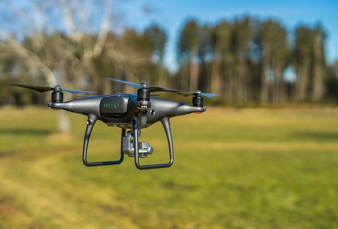
Drones equipped with high-resolution cameras can capture comprehensive and precise imagery from above. This bird’s-eye view offers an expansive overview that helps surveyors pinpoint specific areas requiring attention. Unlike traditional methods, drone property surveys eliminate blind spots, giving a complete picture.
Drone property surveys minimize human error and reduce assessment time; they streamline data collection through automation. The low operational costs of drones compared to human surveyors make these devices invaluable, particularly for extensive landscapes or challenging terrains.
Enhanced Data Collection
With GPS-enabled devices and sophisticated imaging technology, drones provide geospatial data that inform better decisions regarding land development or real estate investment. Tools such as thermal imaging also assist in identifying issues like heat leaks or moisture intrusion, which are critical for property inspections.
Implications for Real Estate Professionals
The use of drones in property surveys allows real estate agents and investors to access accurate market evaluations quickly. Efficiency is heightened when precise data is readily available, enabling informed negotiations and strategic planning. Furthermore, drone footage can be used in marketing materials to showcase property features effectively, attracting potential buyers.
The Future of Property Surveys
The industry is rapidly embracing drone technology, and regulations are evolving to accommodate their use. As drones become more mainstream, professionals across various sectors are trained to fly and operate these machines skillfully, ensuring compliance with legal standards. The progress in drone technology indicates that future surveys will be even more seamless, integrating AI and machine learning for enhanced predictive analysis.
Common Questions
Can drones replace traditional property surveys entirely? While drones offer numerous advantages, traditional surveys still hold value for certain detailed assessments. Are drone surveys legally permissible everywhere? Regulations vary by region, but most areas have embraced drone technology, subject to local laws and guidelines. How does drone data improve real estate transactions? By offering precise and comprehensive data, drone surveys facilitate better negotiation and decision-making, leading to smoother transactions.