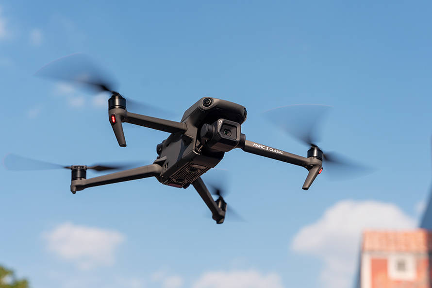
Drone scanner technology is at the forefront of modern technological advancements. As a transformative tool, it provides exceptional capabilities that redefine various industrial applications. The term “drone scanner” might immediately evoke images of unmanned aerial vehicles equipped with sophisticated scanning devices, and for good reason. These drones are equipped with high-resolution cameras, lidar systems, and infrared sensors that enable them to collect data from the environment they survey.
The Mechanics of Drone Scanning
The technology behind drone scanners focuses on accurate data collection and reconnaissance. Equipped with GPS and mapping capabilities, drone scanners can create detailed maps and 3D models within minutes. This swift maneuverability and data processing ability are critical in areas such as agriculture, where they assist in crop monitoring, and the construction industry, where they evaluate building progress and land surveying.
Drone Scanners in Environmental Conservation
Environmental conservation is another domain where drone scanner technology significantly contributes. Drones offer invaluable services by assessing deforestation, mapping wildlife habitats, and tracking animal movements without disturbing the ecosystem. Researchers and environmentalists utilize these scanners for data that is otherwise challenging to gather, often working in harsh terrains and inaccessible regions.
The Role in Disaster Response
The application of drone scanners in disaster response situations is noteworthy. In events such as earthquakes, floods, or fires, immediate and precise data is crucial. Drone scanners can navigate through dangerous landscapes, providing rescue teams with real-time information about areas affected and the extent of damage, enhancing swift recovery efforts and resource allocation.
The Future of Drone Scanning Technology
Looking ahead, drone scanners are expected to become even more integrated with AI and machine learning, enabling smarter data analysis and automatic decision-making processes. These improvements will further amplify the accuracy and speed of data collection, ensuring drone scanners remain an indispensable tool in our technological toolkit.
Addressing Privacy Concerns
One of the key challenges faced by the widespread adoption of drone scanner technology is privacy. The ability of drones to capture high-resolution images poses risks of unauthorized surveillance. Policies and laws need to evolve to ensure drones are used ethically while maximizing their potential in public safety and commercial fields.
- Agriculture: Provides insights into crop health and soil condition.
- Wildlife Tracking: Assists in monitoring endangered species.
- Structural Analysis: Evaluates the stability and integrity of buildings.
Frequently Asked Questions
How accurate is data collected by drone scanners? With advancements in lidar and high-resolution cameras, data accuracy is remarkably high. However, it varies depending on the technology used and environmental conditions.
Can drone scanners be used in urban settings? Yes, drone scanners can efficiently navigate urban landscapes, providing valuable data for city planning, traffic management, and infrastructure analysis.
What are the cost implications of implementing drone scanner technology? While initial setup costs can be significant, the long-term benefits in terms of efficiency and data quality can outweigh the expenses, making it a worthwhile investment for many industries.