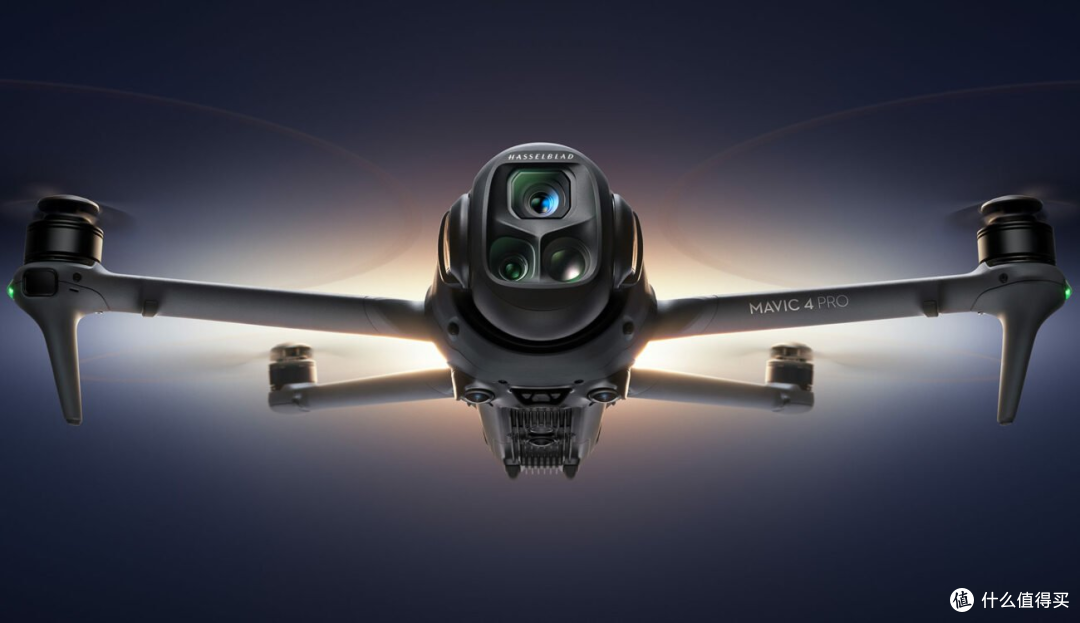
 has emerged as a groundbreaking technology, reshaping traditional surveying methods. By leveraging the power of drones equipped with high-resolution cameras and sophisticated sensors, professionals across various industries have unlocked a new dimension in data collection, spatial analysis, and geographical visualization. From environmental conservation to urban planning and agriculture, the applications of drone mapping are vast and continually evolving.
Drone mapping provides unparalleled accuracy and efficiency, drastically reducing the time and resources needed for large-scale surveys. Traditional surveying methods often require extensive manpower and are limited by physical and logistical constraints. In contrast, drone mapping can cover extensive areas in mere hours, capturing data with precision that is unachievable through conventional means.
Key Advantages of Drone Mapping
- Enhanced Accuracy: Drones can capture detailed imagery and topographical data with centimeter-level accuracy.
- Time and Resource Efficiency: Once deployed, drones can rapidly assess landscapes without the need for ground-level interventions.
- Safety and Accessibility: Areas that are difficult or dangerous for human surveyors to access can be safely examined using drones.
- Cost-effectiveness: The reduction of human labor and quicker turnaround times lead to significant cost savings.
Drones equipped with thermal and multispectral sensors can deliver insights into agricultural health, monitor forest growth, and even detect water quality levels. Such multispectral analysis is invaluable for creating detailed environmental models and executing large-scale ecological surveys.
Future Prospects and Considerations
The horizon for drone mapping is promising, although there are challenges that must be navigated. Data privacy concerns and regulatory restrictions can potentially limit the integration of drones into everyday surveying routines. As drone technology evolves, it is crucial to address security measures and develop standardized practices that ensure compliance and safeguard data integrity. Innovations in battery technology, sensor improvements, and AI integration are expected to drive the future growth of drone mapping. Furthermore, collaborations between government entities, tech innovators, and industry stakeholders will be vital in cultivating an ecosystem where drone mapping can thrive.
FAQs about Drone Mapping
What is drone mapping used for?
Drone mapping is used for a range of applications, including land surveying, agriculture monitoring, construction site analysis, and wildlife conservation.
How accurate is drone mapping?
Drone mapping is highly accurate, often achieving centimeter-level precision thanks to advanced GPS systems and high-resolution imaging.
Are there limitations to using drones for mapping?
Drones may face limitations such as battery life constraints, regulatory restrictions, and sensitivity to weather conditions.