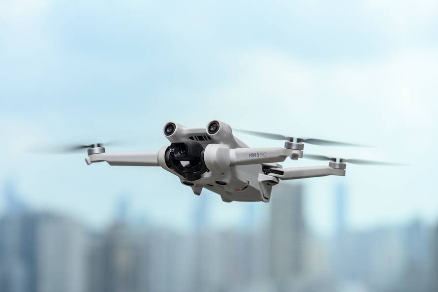
Exploring New Frontiers with GPS Drone Technology
Drones equipped with GPS technology offer a remarkable fusion of innovation and accessibility that transforms the way we explore our world. These GPS drones have significantly opened up new possibilities for both hobbyists and professionals, enhancing everything from aerial photography to sophisticated surveys.
Understanding GPS Drone Mechanics
At its core, GPS technology allows drones to precisely locate and navigate various environments. This capability ensures accurate positioning, making tasks like mapping and surveillance more efficient. Whether it’s capturing breathtaking vistas or executing intricate maneuvers, the role of GPS drones is pivotal.
The Advantages of GPS Integration
- Enhanced Navigation: With GPS, drones can autonomously navigate set paths, reducing human error and ensuring seamless operation.
- Real-Time Tracking: GPS drones provide real-time location data, which is crucial for applications in rescue missions and research.
- Stability and Control: GPS aids in stabilizing the drone, allowing for smoother flights and better control, essential for capturing high-quality visuals.
Harnessing GPS Drones for Photography
One of the most popular uses of GPS drone technology is in aerial photography. Photographers can plan and execute complex shots with precision, utilizing GPS waypoints to program flight paths. This level of control over the drone’s position allows creatives to capture scenes from angles previously deemed impossible.
Applications Beyond Photography
While photography remains a significant use, the scope of GPS drones extends to myriad sectors:
- Environmental Monitoring: Utilizing drones for surveillance helps in tracking wildlife and monitoring ecosystems.
- Goods Delivery: GPS drones are at the forefront of revolutionizing delivery systems by ensuring efficient navigation and timely deliveries.
- Emergency Services: During disasters, drones provide critical data and situational awareness, aiding in informed decision-making.
The Future of GPS Drone Technology
As technology continues to advance, the future of GPS drone technology looks promising. Integration with AI and enhanced sensor systems will further enhance drones’ capabilities, expanding their utility in fields like agriculture and logistics. The innovation in battery life and materials will lead to longer, more sustainable flights.
Frequently Asked Questions (FAQ)
Q: How does GPS improve drone flight?
A: GPS technology provides precise navigation, stability, and real-time tracking, improving flight accuracy and efficiency.
Q: What are the safety measures for operating GPS drones?
A: Operators must adhere to local regulations, avoid restricted areas, and ensure the drone is always within sight.
Q: Can GPS drones be used indoors?
A: GPS functionality is limited indoors due to signal interference, but supplemental technology like visual positioning systems can assist.