Mastering Drone Navigation with Updated Fly Zone Maps
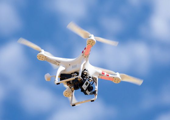
Drones have rapidly become a staple in various industries, from photography to agriculture. However, responsible drone operation is crucial, especially in regulated airspaces. Utilizing a drone fly zone map ensures that operators can safely pilot their drones while adhering to local laws and regulations.
Understanding these maps is critical for hobbies and professionals alike. Let’s delve into how these maps work and their importance in drone navigation.
The Importance of Fly Zone Maps
Fly zone maps provide detailed information about where it’s safe and legal to fly your drone. These maps highlight restricted areas such as airports, military bases, and government facilities, ensuring compliance with national and local aviation regulations. By leveraging these maps, drone enthusiasts can prevent violations that might lead to fines or confiscation of equipment.
How to Read a Drone Fly Zone Map
Reading a drone fly zone map requires understanding the symbols and color codes used to denote various restrictions. Typically, red zones indicate no-fly areas, while yellow zones may require special permission. Green zones are generally safe for flying but always check for specific notes or updates. Observing these indicators can save time and help avoid penalties.
Safety first: by adhering to map guidelines, accidents that might harm people or property can be avoided.
Utilizing Technology for Updated Maps
With technology advancements, accessing updated fly zones has become easier than ever. Mobile apps and websites provide real-time updates, ensuring that drone operators have the latest information. Some platforms even offer advisories and weather updates, further aiding in safe flight planning. Regularly checking these resources helps maintain compliance and enhances flight efficiency.
Explore Live Drone Fly Zone Maps
Navigating the skies safely requires diligence, and drone fly zone maps are invaluable tools for both new and experienced drone operators. By incorporating these maps into your flight prep, you are not only ensuring legal compliance but also promoting a culture of safe, responsible flying.