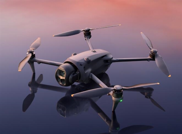
In the rapidly evolving realm of technology, lidar drones have emerged as a groundbreaking tool for mapping and surveying the physical world. These state-of-the-art devices are revolutionizing industries by providing advanced capabilities in capturing accurate topographical data.
Understanding Lidar Technology
Lidar, or Light Detection and Ranging, is a remote sensing method that uses light in the form of a pulsed laser to measure variable distances to the Earth. These light pulses—combined with other data recorded by the drone’s system—generate precise, three-dimensional information about the shape and surface characteristics of the Earth. In essence, lidar technology is akin to echolocation used by bats, but instead of sound waves, it employs light waves. The precision and detail offered by lidar make it indispensable for high-resolution map creation.
The Benefits of Using Lidar Drones
- Enhanced Accuracy: Lidar drones excel in providing accurate data even in challenging environments, making them an invaluable asset for projects that require precision.
- Speed and Efficiency: These drones can cover large areas rapidly, significantly reducing the time needed for surveys compared to traditional methods.
- Cost-Effectiveness: Although the initial investment may be high, the efficiency and reduced manpower requirements make lidar drones a cost-effective solution in the long run.
Moreover, lidar drones are instrumental in various applications, including urban planning, archaeological research, forestry management, and disaster response.
They play a crucial role in providing detailed insights that can assist in decision-making processes and strategic planning.
Key Industries Leveraging Lidar Drones
The adoption of lidar drone technology spans multiple sectors. In agriculture, for instance, it aids in precision farming by providing data on crop health, land topology, and water distribution. In the construction industry, lidar drones streamline the planning process by delivering highly accurate ground data, which is essential for designing infrastructure. Additionally, they are invaluable in environmental studies, helping to monitor ecosystem changes and natural phenomena.
Advancements and Innovations
The future of lidar drones promises exciting advancements. Current research focuses on enhancing the range, accuracy, and data processing capabilities of these drones. One can expect drones equipped with more sophisticated lidar sensors capable of capturing even finer details. Furthermore, the integration of artificial intelligence offers the potential to automate data analysis, unveiling patterns and predictions that would be difficult to identify manually.
Frequently Asked Questions
What is the maximum range of lidar drones? The range of lidar drones varies significantly depending on the model and application. Typically, modern lidar drones can cover ranges from hundreds to several thousands of meters.
Are lidar drones affected by weather conditions? Yes, certain weather conditions like heavy rain or fog can impact the effectiveness of lidar sensors, although technological improvements continue to mitigate these factors.
How are lidar drones different from traditional surveying methods? Lidar drones provide faster, more accurate, and multidimensional data compared to traditional methods, which rely on manual measurements and often offer limited detail.
Lidar drones are undeniably paving the way for new methodologies in mapping and exploration, offering unparalleled accuracy and efficiency. Their continued evolution holds great promise for enhancing how we perceive and manage our world.