The Evolution and Future of Drone Mapping
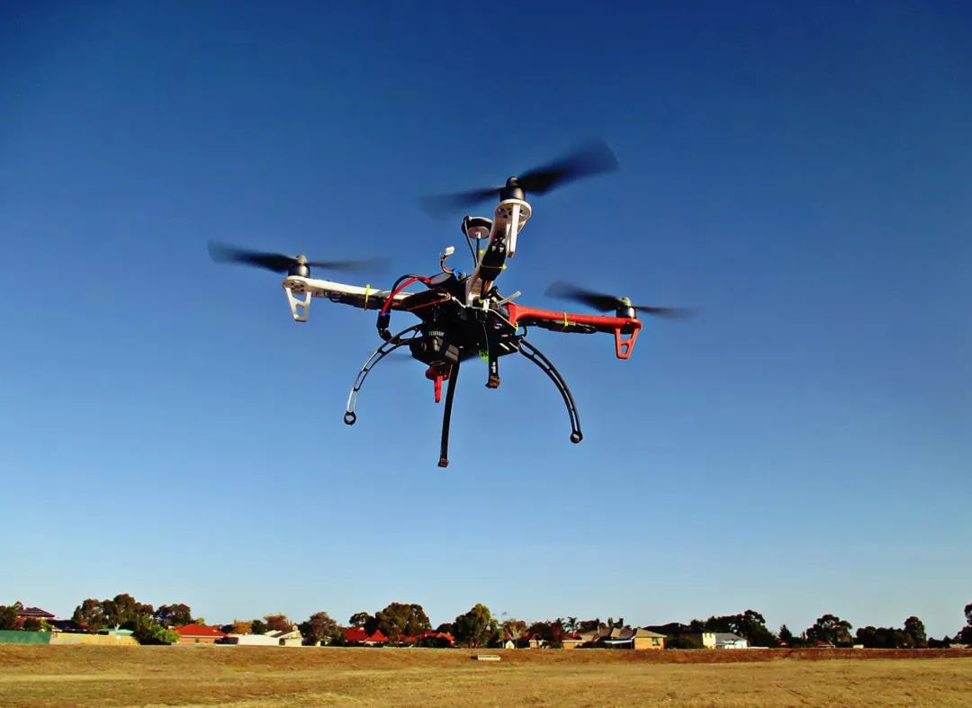
Drone mapping technology has, in recent years, transformed from a niche sector into a pivotal part of several industries. Historically, the realm of mapping was dominated by manual surveying techniques and satellite imagery. However, the advent of drone mapping has brought forth unparalleled precision and reduction in both time and cost.
A significant advantage of drones is their ability to cover challenging terrains that traditional methods found difficult. Drones can easily bypass obstacles and capture data from angles that were previously impossible, offering comprehensive topographical data. These capabilities are especially pivotal in industries such as agriculture, construction, and environmental conservation. Drone mapping allows for real-time data collection, making it a valuable tool for rapid decision-making.
In the agricultural sector, drones assist in precision farming. By providing detailed maps of crop health and soil conditions, farmers can optimize their crop yield, implement targeted treatments, and reduce waste. Drone mapping supports remote crop monitoring, which helps in combating pests and diseases more effectively.
- In construction, drone mapping contributes to accurate site surveying. Construction managers utilize drones to evaluate progress, ensuring every phase adheres to the planned timelines and regulations. This results in an increase in efficiency and a marked reduction in errors.
- Environmentalists rely on drones for conservation efforts. By assessing wildlife and vegetation health from above, drones provide data essential for biodiversity assessments and climate change studies.
The Technical Advances
Drone mapping technology continues to evolve, integrating machine learning and AI to further enhance mapping precision. Innovations in software are enabling better data analytics, while developments in hardware are seeing drones become more equipped with advanced sensors and longer flight capabilities.
The potential for AI-enhanced drone mapping is almost limitless, offering insights and solutions in areas like urban planning and disaster management.
Future Trends
As we look to the future, the use of drone mapping is set to widen. Companies are exploring how drones can be integrated with Internet of Things (IoT) devices to provide seamless data flow across platforms. Legal frameworks are evolving to accommodate the widespread use of drones, and issues surrounding privacy and airspace management are being systematically addressed.
Moreover, as drones become cheaper and more accessible, smaller businesses and individual enthusiasts are beginning to explore their applications, leading to fascinating discoveries and innovations.
Frequently Asked Questions
- What industries benefit the most from drone mapping?
- Industries such as agriculture, construction, and environmental conservation see significant benefits due to enhanced precision and reduced costs.
- Are drones safe for public airspace?
- As regulations evolve, drones are becoming more integrated with public airspace, though operators must comply with specific guidelines to ensure safety.