The Potential of Drone Deploy in Agricultural Mapping

In recent years, drone deploy technology has transformed the landscape of agricultural mapping. As farmers strive to enhance crop productivity and manage resources more efficiently, the deployment of drones has become an invaluable tool. Drones equipped with the latest mapping technology provide precision agriculture solutions, enabling farmers to make informed decisions.
Drone deploy technology utilizes advanced imaging and data collection methods, allowing for real-time monitoring of agricultural fields. This innovation facilitates accurate soil analysis, crop health assessments, and water management, revolutionizing the way farmers approach traditional farming practices. By embracing this technology, farmers can optimize yield, reduce waste, and promote sustainability.
Why Is Drone Technology Essential for Agriculture?
With the world facing unprecedented challenges in food security, efficient agricultural practices are paramount. Drone deploy systems offer comprehensive mapping solutions that provide clarity and insight into field conditions, helping farmers to manage resources effectively. Through GPS and sensor technology, drones can map large areas quickly, capturing detailed images that are critical for evaluating plant growth, detecting pests, and assessing crop health.
Moreover, the precision and efficiency offered by drones reduce the need for manual labor and minimize human error. Farmers can gather data about soil composition and moisture levels without physically being in the field, ultimately saving time and labor costs.
How Does Drone Deploy Technology Work?
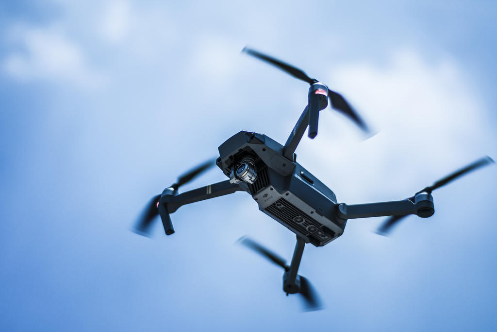
Drone deploy technology integrates several components, such as high-resolution cameras, GPS systems, and user-friendly software platforms. These drones fly over designated areas, capturing images that are analyzed using sophisticated algorithms. The data collected is then processed to create detailed maps that display various field metrics.
High-resolution imaging is pivotal, as it allows farmers to observe minute differences in plant coloration and growth patterns, identifying potential issues such as disease or nutrient deficiencies early on. The ability to detect these problems promptly allows for timely interventions, ultimately preserving crop yield.
The future of agricultural mapping is clearly tied with the continued advancement and adoption of drone deploy technology. As more farmers recognize the benefits of these innovations, the industry can expect to see significant changes in efficiency and profitability.
What Are the Benefits of Drone Mapping?
1. Improved Visualization: Drones provide an aerial perspective, offering better overall visualization of crop health and field conditions.
2. Data Accuracy: High-resolution images and precise GPS mapping result in accurate data collection.
3. Cost Efficiency: Reduces the need for manual labor and excess resource allocation.
Drone deploy serves as a bridge to the future of smart farming, opening up possibilities that were once unattainable through conventional methods.
As we explore the future of agricultural mapping, questions such as the integration costs, operational training, and environmental impact of drone deploy are common.
FAQs
How expensive is drone deploy technology?
Costs can vary depending on the drone model and mapping requirements, but generally, investment in drone deploy is offset by gains in productivity and efficiency.
Can drones operate autonomously?
Yes, drones can be programmed for autonomous flight paths, reducing the need for constant supervision.
Is drone deploy environmentally friendly?
Given its ability to enhance resource management and reduce waste, drone technology is considered eco-friendly, promoting sustainable agricultural practices.
In conclusion, the application of drone deploy technology positions it as a transformative tool in the realm of agriculture, offering a pathway to optimized production, sustainability, and insightful analysis of the farming environment.