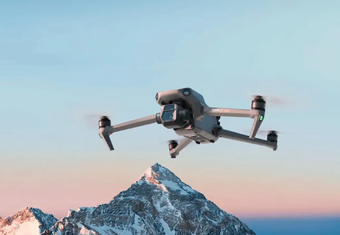
In recent years, the integration of advanced imaging technology into drones has revolutionized aerial photography and imaging. A key development in this field is the incorporation of FLIR cameras into drones, which allows for thermal imaging capabilities previously unavailable in conventional aerial platforms. Elevating the potential for versatile applications, drones with FLIR cameras are empowering various industries with the ability to capture thermal data efficiently from the skies.
What Are Drones with FLIR Cameras?
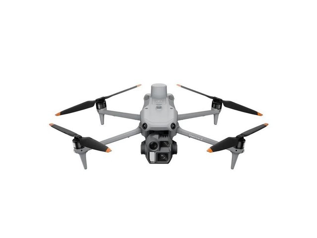
Drones equipped with FLIR cameras provide users with the ability to capture heat signatures and temperature variations through thermal imaging. FLIR, short for Forward-Looking InfraRed, offers cameras that can detect infrared radiation, making them substantially valuable in sectors like surveillance, search and rescue, wildlife monitoring, agriculture, and building inspections. This technology enables operators to detect what is invisible to the naked eye, further enhancing the functionality and value of unmanned aerial vehicles.
The Advantages of Using FLIR Cameras on Drones
- Improved Visibility: FLIR cameras can effectively spot heat signatures regardless of lighting conditions, enabling users to conduct operations even at night or in adverse weather.
- Precision in Data Collection: With thermal imaging, surveys related to energy loss in buildings, water leaks, and crop health can be conducted with higher precision and reliability.
- Enhanced Security: Security personnel can benefit from FLIR-equipped drones to surveil large areas and detect movement or unauthorized activity that would be hard to spot using conventional cameras.
The ability to gather data from a safe distance without compromising safety is immensely beneficial in hazardous environments like chemical plants or disaster-hit zones. Drones carrying FLIR cameras are designed to withstand challenging conditions, making them perfect for demanding tasks.
Applications of Drones with FLIR Cameras
In the agricultural sector, these drones have become invaluable in analyzing field conditions, diagnosing diseases, and monitoring livestock. By identifying temperature inconsistencies, farmers can take informed actions to optimize yield and maintain healthy crop growth. In urban planning and architecture, thermal imaging assists in energy audits and inspections by precisely detecting areas of heat loss. This data is crucial for improving energy efficiency in buildings and infrastructure.
Search and Rescue Operations
Search and rescue missions are often time-sensitive and occur in challenging terrains. With FLIR cameras, drones can survey large swathes of land quickly to locate individuals trapped or lost, significantly increasing the odds of successful missions. By detecting heat signatures, search units can pinpoint the location of survivors even under dense foliage or debris.
Challenges and Limitations
Despite their benefits, drones with FLIR cameras are not immune to challenges. The cost of acquiring and maintaining such technology is one consideration, as FLIR-equipped drones can be higher priced than conventional models. Additionally, operators need adequate training to interpret thermal data effectively; while capable, these cameras require specialized skills to maximize their utility.
FAQ
How does a FLIR camera work?
FLIR cameras detect infrared radiation and convert it into an image that visually represents temperature variations, allowing users to see heat patterns.
Are drones with FLIR cameras difficult to operate?
Operating these drones incorporates standard piloting skills along with the ability to understand and interpret thermal imagery, necessitating some specialized training.
Is it legal to fly drones with FLIR cameras?
The legality varies by region, and operators should adhere to local regulations and guidelines regarding the use of drones and thermal imaging technology.