
Exploring the Transformative Uses of Infrared Camera Drones in Modern Aerial Surveys
1. Environmental Monitoring & Wildlife Management
Infrared camera drones are invaluable tools in environmental science. By capturing heat signatures, they enable researchers to track wildlife movement, monitor animal populations, and detect poaching activities, even in dense foliage or low-light environments. Thermal imaging allows for rapid and non-invasive species counts, making ecological surveys more ethical and efficient. Additionally, drones equipped with infrared cameras can identify water pollution hotspots, illegal dumping, and vegetation health, supporting conservation efforts worldwide.
2. Precision Agriculture & Crop Health Assessment

In the agricultural sector, infrared camera drone technology has become essential for optimizing crop yields and reducing waste. These drones can scan large fields, detecting variations in temperature that may signal plant stress, disease, or pest infestations. Early identification of such anomalies allows farmers to target interventions, apply resources more judiciously, and protect valuable harvests. Thermal data is also used to map irrigation effectiveness, helping in water management and sustainability planning.
- Irrigation Planning: Identify water distribution inconsistencies.
- Soil Health Detection: Spot potential soil compaction issues via temperature variances.
- Yield Prediction: Use aggregated thermal data for accurate forecasting.
3. Infrastructure Inspection & Maintenance
Infrared camera drones have become a cornerstone for inspecting critical infrastructure such as power lines, solar farms, wind turbines, and pipelines. By visualizing heat loss, electrical hotspots, and insulation failures, these devices reveal areas in need of maintenance before they turn into costly breakdowns. For instance, utility companies use drones to scan hundreds of miles of transmission lines in a fraction of the time required for manual inspections, significantly improving both safety and efficiency.
4. Emergency Response & Disaster Management
During disasters such as wildfires, floods, and earthquakes, rapid assessment is essential. Infrared camera drones offer first responders critical thermal imagery for spotting survivors, mapping fire progression, and identifying dangerous hotspots. In smoke-filled or dark environments, standard cameras may fail to provide clarity, whereas infrared imaging cuts through these barriers, facilitating informed decision-making under pressure. Search-and-rescue teams routinely rely on drone-mounted thermal cameras to locate missing persons and guide rescue operations more precisely.
5. Building Energy Audits & HVAC Diagnostics
Architects, engineers, and building managers employ infrared camera drones to assess the thermal efficiency of large structures. By flying over rooftops and facades, drones pinpoint energy leaks, insulation gaps, and malfunctioning HVAC systems. This proactive approach to maintenance can result in significant cost savings, improved occupant comfort, and reduced environmental impact.
6. Solar Panel Inspection and Energy Optimization
Solar farms often cover vast areas, making manual inspections time-consuming and sometimes impractical. Infrared camera drones can quickly scan entire installations, identifying malfunctioning panels by their distinct heat signatures. Early fault detection ensures maximum energy output and prevents larger problems, safeguarding investments and energy targets.
Technical Considerations When Using Infrared Camera Drones
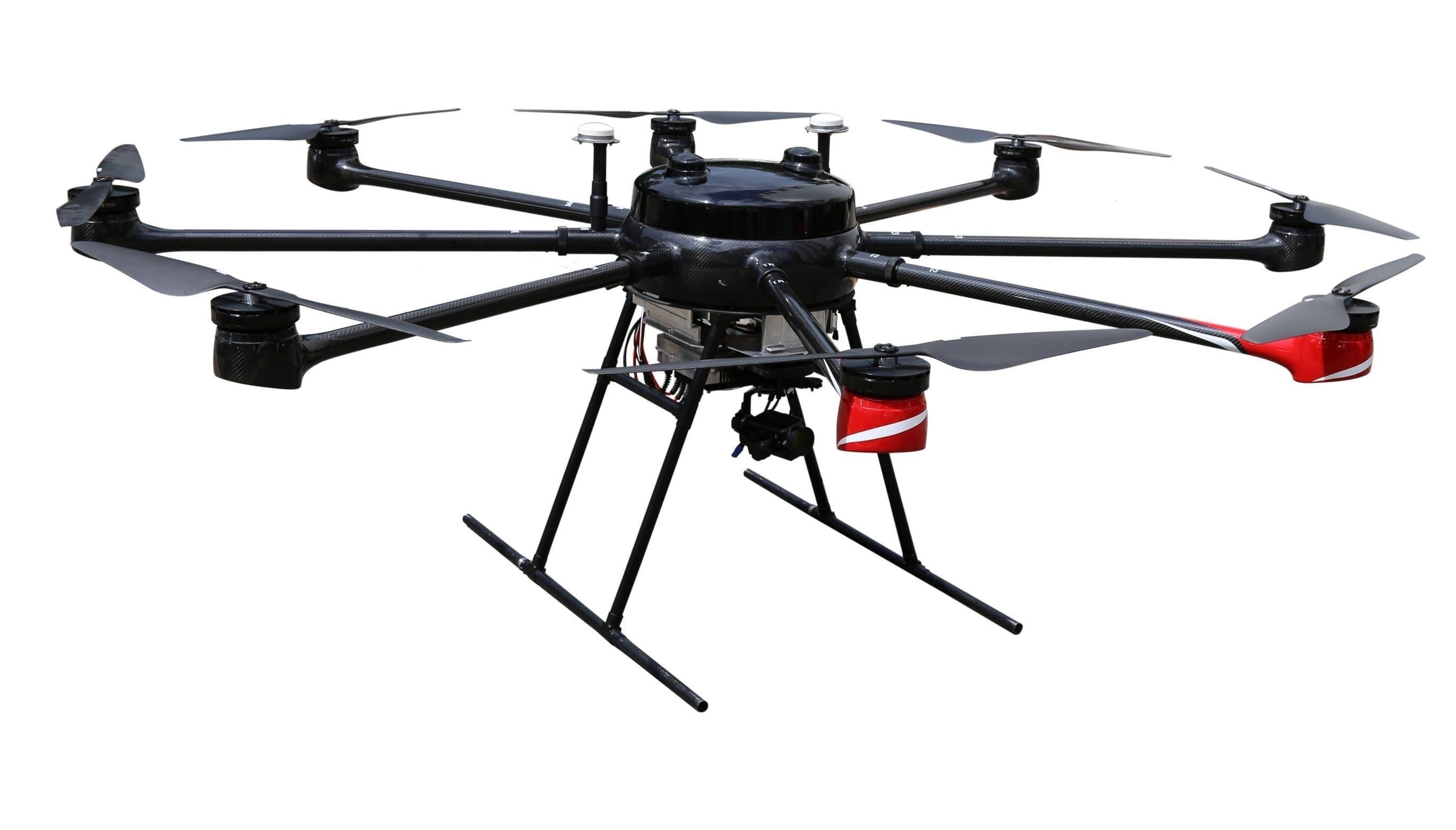
While the benefits of using an infrared camera drone are manifold, successful deployment hinges on understanding technical specifications such as resolution, flight time, payload capacity, and sensor calibration. Additionally, operators should be familiar with data interpretation—since thermal images require specialized analysis to extract actionable insights. Compliance with local regulations and privacy guidelines is paramount, especially when surveying populated areas or sensitive environments.
Increasing Accessibility & Future Trends
Infrared camera drone technology is becoming more affordable and versatile, allowing smaller organizations to leverage its potential. Advances in AI-powered image processing, automated flight planning, and longer battery life herald a future where aerial thermal surveys are a routine part of operations across sectors. As integration with cloud services and real-time analytics grows, data-driven decision-making is set to reach new heights.
SEO Best Practices for Infrared Camera Drone Content
When deploying content related to infrared camera drone applications, it is vital to maintain keyword density for optimal search engine results. Including synonyms such as “thermal imaging UAV,” “drone with thermal camera,” and “aerial infrared inspection” alongside the primary keyword broadens semantic relevance. Strategically using header tags (
,
), bolding important phrases, and employing internal links to supporting content all contribute to higher rankings and user engagement.
FAQs
- Q: What is the main advantage of using an infrared camera drone over traditional ground-based temperature sensors?
- A: Infrared camera drones offer expansive, rapid coverage and can access hard-to-reach terrain, making them far more efficient in surveying large areas compared to stationary sensors.
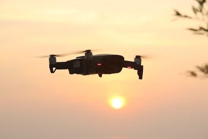
- Q: Can infrared camera drones be used for night-time operations?
- A: Absolutely. Infrared imaging thrives in low-light, making these drones ideal for nocturnal wildlife monitoring, security patrols, and emergency response when visibility is poor.
- Q: Are there legal restrictions to consider when conducting aerial surveys with infrared camera drones?
- A: Yes. Operators must adhere to local UAV flight regulations, privacy laws, and often require permits for commercial use. It is important to consult relevant authorities before deploying drones for professional surveys.
FAQs
- Q: What is the main advantage of using an infrared camera drone over traditional ground-based temperature sensors?
- A: Infrared camera drones offer expansive, rapid coverage and can access hard-to-reach terrain, making them far more efficient in surveying large areas compared to stationary sensors.
- Q: Can infrared camera drones be used for night-time operations?
- A: Absolutely. Infrared imaging thrives in low-light, making these drones ideal for nocturnal wildlife monitoring, security patrols, and emergency response when visibility is poor.
- Q: Are there legal restrictions to consider when conducting aerial surveys with infrared camera drones?
- A: Yes. Operators must adhere to local UAV flight regulations, privacy laws, and often require permits for commercial use. It is important to consult relevant authorities before deploying drones for professional surveys.
By leveraging the capabilities of infrared camera drones, organizations across numerous industries are unlocking unprecedented insights, increasing efficiency, and enhancing safety in their operations. The future of aerial surveillance is bright, powered by the continuous evolution of thermal imaging technology and strategic drone deployment.