
In the realm of modern technology, drones have revolutionized how we perceive aerial photography. These sophisticated devices, particularly GPS drones with cameras, have opened up new vistas for professionals and hobbyists alike. The integration of GPS technology with high-definition cameras ensures precision, stability, and breathtaking imagery. Whether you’re an aspiring photographer or a seasoned cinematographer, the advantages of these drones are undeniable.
Advantages of GPS Drones with Cameras
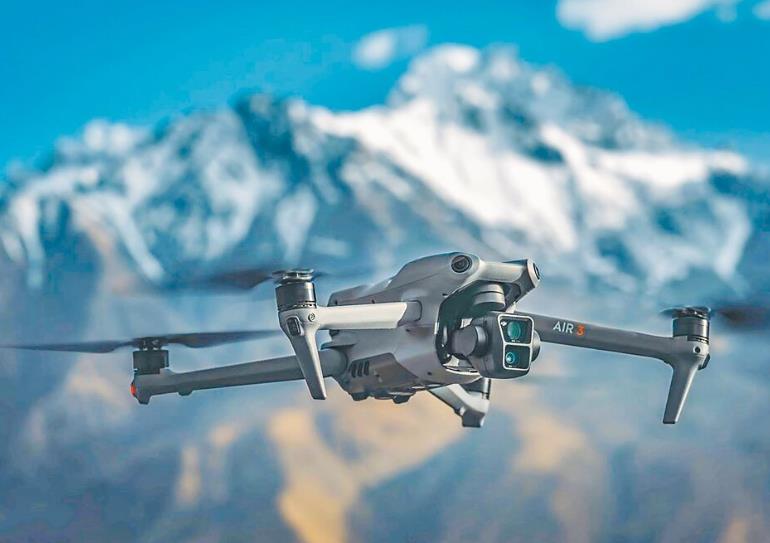
GPS drones are equipped with positioning systems that facilitate stable hovering and precise navigation. This allows photographers to focus solely on capturing striking visuals without worrying about stability. The camera quality in these drones ranges from 1080p to 4K, offering crystal-clear resolution. Imagine capturing a sunset over the ocean with vibrant colors and incredible detail. The combination of GPS systems and advanced cameras is transformative for landscape, sports, and event photography.

Additionally, GPS drones with cameras often feature intelligent flight modes such as follow-me, waypoint routing, and orbit modes. These intelligent modes enhance creativity, enabling dynamic shots like a picturesque landscape or a thrilling snowboard sequence. The follow-me mode, for instance, allows the drone to autonomously track a moving subject, capturing the action seamlessly.
Impacts on Professional Photography
Professional aerial photography has seen significant advancements with the inclusion of GPS drones. The ability to access previously unreachable angles and landscapes has enabled photographers to expand their portfolios and create mesmerizing photo sequences. Industries relying heavily on aerial photography, such as real estate and advertising, benefit immensely from these innovations. Real estate photographers can showcase properties from an aerial point of view, highlighting surrounding amenities and landscapes that were once difficult to capture.
Finding the Perfect Drone
Choosing the right drone requires consideration of several factors. First, assess the camera resolution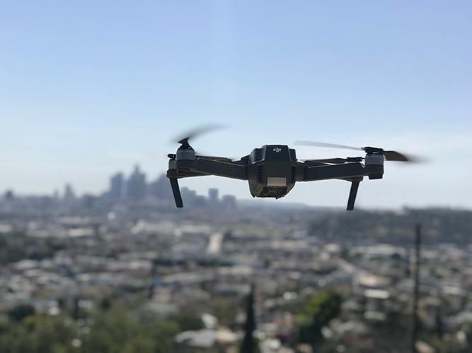 and GPS capabilities to ensure they align with your photographic needs. High-resolution cameras provide better quality images, while advanced GPS systems assure reliability in various conditions. Battery life is another crucial aspect, as longer flights afford more opportunities to capture stunning visuals. Look for drones with intelligent modes that cater to your specific style of photography, whether it’s action, landscape, or event-centric.
Investing in a GPS drone with camera functionality is not just for professionals; enthusiasts and hobbyists can also derive immense joy and satisfaction from these devices. The thrill of exploring uncharted territories and capturing them from the sky is a unique experience that blends creativity with technology.
FAQs and Answers
What is the importance of GPS in drones with cameras? GPS enhances stable flight and precise navigation, making it easier to capture high-quality images without manual interference.
Can beginners operate GPS drones? Yes, many GPS drones are designed with user-friendly interfaces, making them suitable for beginners. They often include tutorials and automatic flight modes for simplicity.
How does the camera resolution affect aerial photography? Higher resolution cameras capture more detailed and vivid imagery, which is essential for professional-quality photos and videos.