Unlocking the Potential of Drone Mapping Software
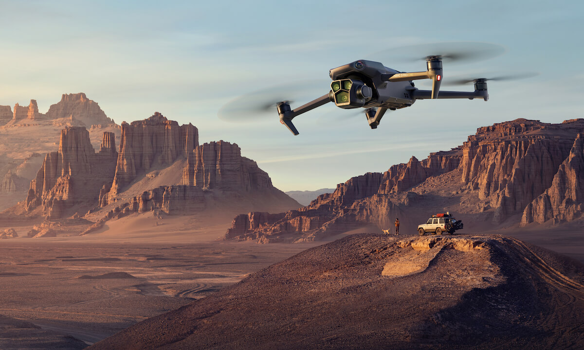
In recent years, drone mapping software has emerged as a revolutionary tool, allowing land surveyors, engineers, and developers to gather accurate geospatial data with unprecedented efficiency and precision. With drones becoming more accessible, the marriage of this technology with advanced mapping software is changing the landscape of traditional surveying practices.
The Evolution of Land Surveying
Traditional land surveying was a labor-intensive process, often requiring significant manual effort and time. However, the advent of drone mapping software has streamlined operations significantly. By using this cutting-edge technology, professionals can now oversee large areas of land quickly and with great detail.
The accuracy offered by drones is transformative. High-resolution cameras and sensors coupled with advanced software capabilities mean that data collected is not only real-time but also exceptionally detailed. This precision supports sectors ranging from construction to agriculture, enabling more informed decision-making processes.
Key Features of Modern Drone Mapping Software
- 3D Modeling: Creating three-dimensional models of surveyed land helps in better visualization and planning.
- Scalability: Whether surveying a small plot or vast landscapes, the software can handle varying project scopes.
- Integration Capabilities: Seamless integration with existing GIS systems ensures that no data is lost or misinterpreted.
- Real-time Data Processing:
 Acquire and process geospatial data instantly, allowing for quick analysis and decision-making.
Applications Across Industries
The flexibility of drone mapping software
makes it invaluable across various industries. In AEC, drones are being used to track construction progress and ensure compliance with design plans. The environmental sector benefits from drones monitoring conservation areas, while agriculture has seen improvements in crop management through detailed aerial imagery.
Furthermore, drone mapping is essential in disaster management. By providing aerial surveys post-calamity, emergency services can deploy resources more efficiently and plan recovery operations with precise data.
Choosing the Right Software
Selecting the right drone mapping software depends on several factors such as project requirements, budget, and technical proficiency. It is crucial to choose a software package that offers intuitive interfaces, robust customer support, and the ability to integrate with other data systems efficiently.
Moreover, staying abreast of technological advancements will ensure that your tools remain cutting-edge in a rapidly evolving sector.