Drones with GPS and camera technology have revolutionized the way we capture images and navigate the skies. As these aerial devices become more sophisticated, they offer unprecedented capabilities for both personal and professional use. Utilizing a drone with GPS and a high-resolution camera not only elevates the quality of aerial photography but also enhances navigation, making it easier to follow pre-planned routes with minimal human intervention. Let’s delve into the latest innovations in this exciting field.
Advanced GPS Technology
The latest drones equipped with GPS systems offer precision that was unimaginable just a few years ago. Modern drones use advanced satellite positioning systems to ensure that they can hover accurately at set points, follow waypoints without deviation, and return to their take-off location with pinpoint accuracy. This reliability is critical for aerial mapping and surveying tasks, where precision is crucial.
High-Resolution Cameras
Onboard cameras in drones have seen substantial upgrades. With sensors capable of capturing 4K resolution footage and high-definition photos, users are now equipped to take cinema-quality aerial shots. These cameras often come with features such as image stabilization, wide-angle lenses, and zoom capabilities, which contribute to capturing stunning visuals from the sky.
Enhancements in Flight Autonomy
Autonomous flight capabilities in GPS drones have also seen significant improvements. Newer models are integrated with AI-driven technology that enables obstacle avoidance, path planning, and automatic adjustments to weather conditions. These features not only make drones safer but also empower users by reducing the steep learning curve previously associated with flying drones.
Applications in Various Industries
Drones with GPS and camera technology are seeing increased usage across various industries. In agriculture, they assist in crop monitoring, pest control, and soil analysis. In the construction industry, drones simplify site surveys and deliver progress updates. Likewise, drones are transforming emergency services by providing real-time surveillance and aiding search and rescue operations.
Consumer Market and User Experience
The accessibility of drones has expanded their adoption among hobbyists and amateur photographers. With intuitive controls and smartphone connectivity, users of all experience levels can enjoy the thrill of flying while capturing breathtaking scenes. This user-friendly shift has made drones a popular tool for travel blogging and social media content creation.
Eco-Friendly Innovations
Environmental considerations are also being addressed in the drone industry. Manufacturers are focusing on developing drones with longer flight times and quieter electric motors, minimizing their environmental footprint. Such innovations make drones more suitable for sensitive environments, like wildlife reserves or city parks, where noise levels are a concern.
Looking to the Future
As drone technology continues to evolve, the integration of GPS and camera systems becomes more sophisticated. We can anticipate smarter drones with features such as object recognition and augmented reality overlays. These advancements will provide even more tools for creative and professional endeavors.
FAQs
Q: How do drones use GPS for navigation?
A: Drones use GPS to lock onto satellite signals, allowing them to determine their precise location. This capability enables features like automated flight paths, return-to-home functions, and stable hovering in place.
Q: Can drones with cameras be used for live streaming?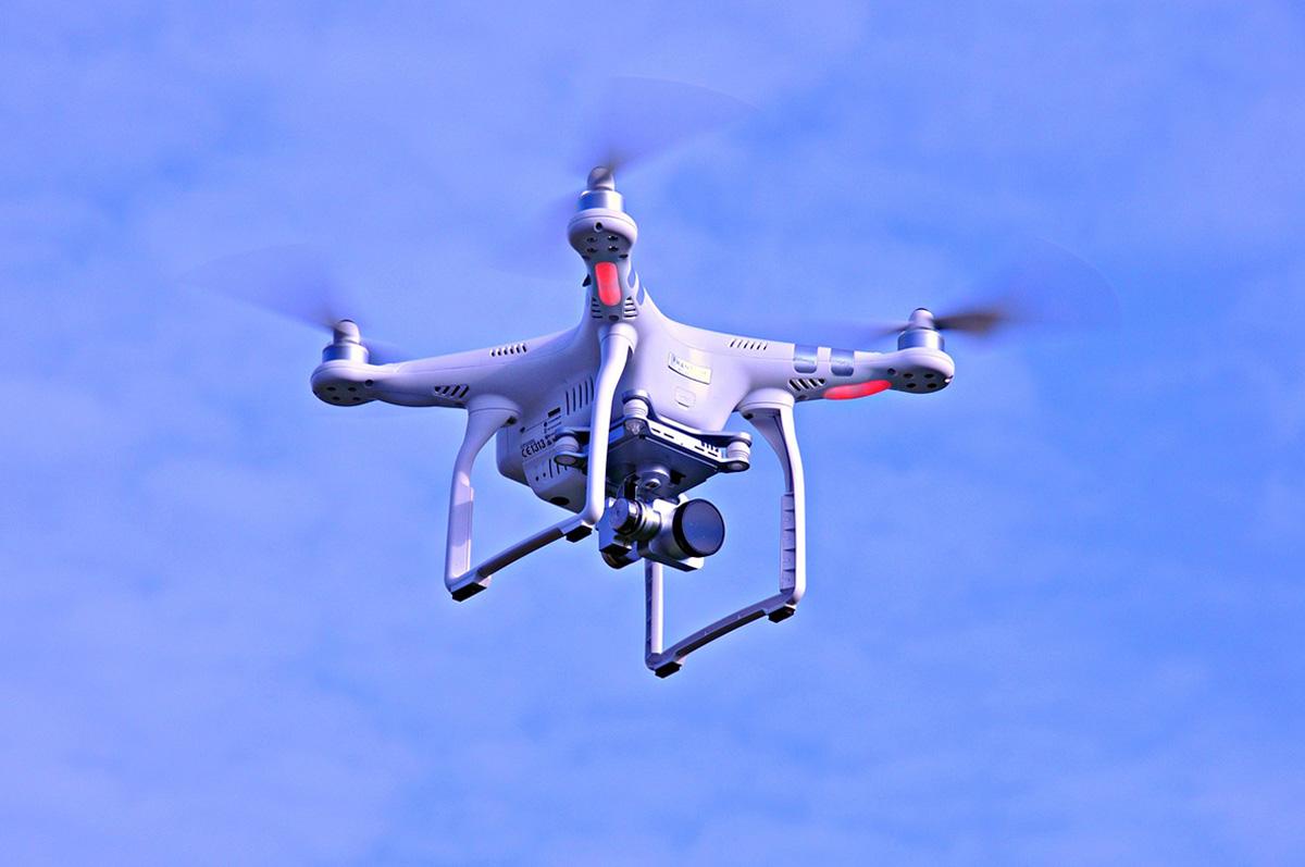
A: Yes, many drones are equipped with cameras that can live stream footage directly to smartphones or tablets, offering real-time video feeds for broadcasts or remote monitoring.
Q: Are there restrictions on where drones can be flown?
A: Yes, there are regulations governing drone usage, particularly in areas close to airports, military bases, or urban environments. It’s important to check local laws and restrictions before flying a drone.