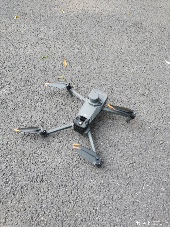
Historically, LiDAR technology was dependent on manned aircraft for data acquisition, but the introduction of drones has significantly transformed this scenario. These unmanned aerial vehicles bring about cost-effective solutions, drastically reducing operational expenses. Additionally, drones offer unparalleled accessibility to hard-to-reach areas, thereby bypassing obstacles that traditional methods faced.
Unlike traditional topographic methods, drone-based LiDAR provides a remarkable level of detail and accuracy. This is particularly beneficial in applications like topographic mapping, forestry management, and infrastructure monitoring. For instance, in forestry, drones equipped with LiDAR can easily survey vast areas, helping in the management and conservation of resources. Similarly, in construction and infrastructure assessment, drones.jpg) can evaluate structural integrity and monitor progress without the need for costly human intervention.
can evaluate structural integrity and monitor progress without the need for costly human intervention.
Simultaneously,
the flexibility and adaptability
of drones enable customized LiDAR surveys, tailored according to specific needs and conditions.
This enables organizations to optimize their operations, focusing on acquisition patterns suited to their particular project requirements. This not only enhances efficiency but also strengthens decision-making processes with precise data. Furthermore, drones have proven beneficial in disaster management. During natural calamities, drones carrying LiDAR equipment can rapidly assess areas, delivering critical information that aids in swift response actions.
The integration of LiDAR technology with drones also supports environmental monitoring and agricultural sectors where precise and real-time data collection is crucial. From monitoring crop health to mapping environmental changes, these sectors greatly benefit from the precision offered by drone-acquired LiDAR data.
Nevertheless, while the advantages are substantial, there are challenges yet to be addressed. The integration process requires careful planning, understanding the technical specifications, and finding the right balance between drone capability and LiDAR sensor efficiency.
Moreover, there are regulatory concerns surrounding airspace management and data privacy that need careful consideration.
FAQs
- How does LiDAR technology work with drones?
LiDAR technology utilizes lasers to measure distances by illuminating targets and analyzing the reflected light. When equipped on drones, this technology can map terrains and objects with high accuracy and detail. - Are drones for LiDAR cost-effective?
Yes, drones significantly reduce the costs associated with data collection compared to traditional manned aircraft methods, making them a more budget-friendly option. - What industries benefit from drone-based LiDAR?
A wide range of sectors such as agriculture, forestry, construction, and disaster management benefit from this technology due to its precision and efficiency in data collection.
