Revolutionizing Mapping: The Impact of Surveyor Drone Technology
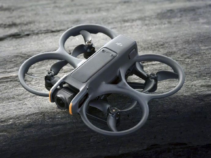
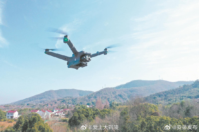
Surveyor drone technology is transforming the way we approach geographical mapping and surveying. With advancements in drone capabilities, industries ranging from agriculture to urban planning are experiencing enhanced precision and efficiency in data collection. These aerial devices are unmatched in their capability to navigate challenging terrains and capture high-resolution imagery, making them invaluable tools in several sectors.
Unprecedented Accuracy and Efficiency
Traditionally, land surveyors faced numerous challenges including accessibility to remote or hazardous locations, time-consuming data collection processes, and significant costs. The surveyor drone, equipped with advanced GPS and imaging technologies, addresses these issues with remarkable precision. Drones can cover extensive areas quickly, transmitting real-time data for analysis and generating detailed maps that are accurate to within centimeters. This capability leads to more informed decisions and optimized resource management.
Applications Across Industries
- Agriculture: Farmers use surveyor drones to monitor crop health, assess irrigation needs, and optimize planting patterns. The technology offers insights that are crucial for maximizing yield.
- Construction:
 In construction, drones provide up-to-date aerial views of sites, assisting in project planning, progress tracking, and identifying potential issues.
 - Environmental Management: Surveyor drones help in tracking wildlife populations, evaluating the impact of environmental changes, and monitoring conservation efforts.
Technical Advances Driving Growth
Emerging technologies continue to enhance the capabilities of surveyor drones. Innovations in LiDAR and multispectral imaging tools have expanded the possibilities for environmental analysis and structural inspection. These tools allow drones to penetrate vegetative cover or capture different wavelengths of light, revealing details that traditional cameras cannot.
Challenges and Considerations
Despite the advantages, the implementation of surveyor drone technology is not without challenges. Regulatory hurdles exist, as agencies manage airspace and privacy concerns. Additionally, there is a need for skilled personnel to operate and interpret the data generated by drones. Nonetheless, the benefits overwhelmingly support the integration of this technology.
The Road Ahead
Looking forward, surveyor drones are expected to further integrate with AI and machine learning, providing even more advanced data analysis capabilities. This evolution promises transformative changes in sectors reliant on precise geographical data.
FAQs
How do surveyor drones differ from regular drones? Surveyor drones are equipped with specialized instruments such as GPS, LiDAR, and high-resolution cameras, designed specifically for mapping and surveying tasks, unlike regular consumer drones aimed at personal use.
Is special training required to operate surveyor drones? Yes, operating surveyor drones typically requires specialized training to effectively capture and interpret geographical data, ensuring compliance with local regulations.
What is the future of surveyor drone technology? Incorporating AI and machine learning will likely lead to increased autonomous capabilities, allowing drones to analyze data in-flight and offer instant insights.