Understanding the Benefits of LiDAR Drones
Exploring the benefits, these drones offer unparalleled precision in mapping and surveying tasks. Because LiDAR drones can cover large areas quickly, they save both time and money on projects that require detailed geographical data. An essential application area is in archaeology, where LiDAR drones can detect ground features that are not visible from the surface. Additionally, environmental monitoring benefits greatly from these drones as they can assess forest biomass, map coastlines, and track changes in vegetation with great accuracy.
Industries Investing in LiDAR Drones
Multiple sectors are already reaping the benefits, including the agriculture industry, which utilizes drones for crop analysis and management by measuring vegetation density and plant health. Meanwhile, construction companies use them for topographical surveys that require precise elevation data. Infrastructure development in urban planning has become more efficient using these drones, as planners can create highly accurate 3D models of upcoming projects before construction begins.
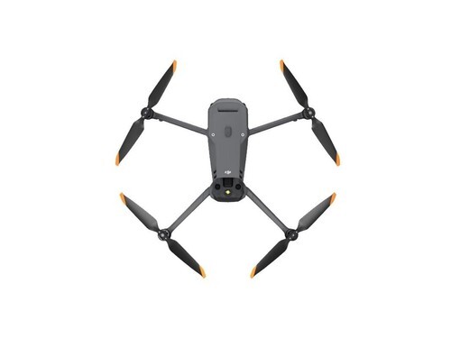
Search for lidar drones for sale, and you’ll find many models available, each designed for various applications, from small-scale hobbyist drones to high-end commercial models.

While the availability increases, potential buyers should assess their needs to find a model that matches their project requirements. Consider factors like flight time, range, and the resolution of the LiDAR sensor, which can greatly affect the drone’s performance in specific scenarios.
- Verify the battery life and charging time to ensure it meets project demands over extended durations.
- Opt for drones that offer post-flight data processing tools to streamline your operations.
Increasingly, drone manufacturers are integrating more features, like obstacle avoidance sensors and autonomous flight capabilities, which add value to the LiDAR-equipped drones. Furthermore, the competition in the market has led to more competitive pricing, making it the perfect time to invest in this technology.
FAQs on LiDAR Drones
- What factors should be considered when purchasing LiDAR drones?
- When deciding on purchasing, consider the range and resolution of the LiDAR sensor, flight time, battery life, and operational ease, essential for fulfilling specific project needs effectively.
- Are LiDAR drones suitable for personal use?
- While primarily used for commercial purposes, hobbyists can explore small-scale LiDAR models that might cater to personal curiosity and experimentation, but professional applications require more robust models.
- How is LiDAR superior to traditional aerial photography?
- LiDAR provides more detailed three-dimensional models and precise measurements compared to conventional aerial photography, which captures only visual images without depth information.
Whether you’re a novice or a professional in the industry, these drones have transformed data collection, offering vast applications beyond conventional mapping techniques.