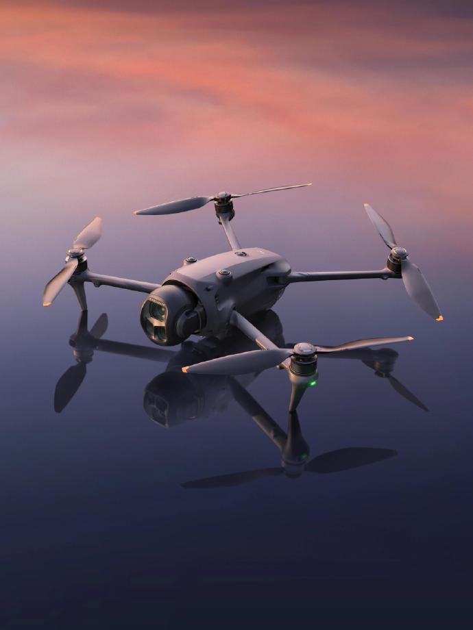
As technology continues to evolve, the realm of mapping has witnessed significant advancements with the introduction of drone surveying, an innovative solution that is transforming the way we approach geospatial data collection. Drone surveying provides unparalleled accuracy, efficiency, and cost-effectiveness compared to traditional methods, making it an indispensable tool in various industries. By harnessing the power of drone surveying, professionals can capture high-resolution images and topographical data, enabling precise mapping and planning.
Applications of Drone Surveying
Drone surveying has found applications in a plethora of fields, from agriculture and construction to environmental monitoring and disaster management. In agriculture, drones equipped with specialized sensors can monitor crop health, optimize water usage, and enhance yield predictions. Construction projects benefit from regular site inspections, progress tracking, and infrastructure mapping, ensuring timely completions and adherence to design specifications. Furthermore, environmentalists utilize drone surveys to study wildlife habitats, track deforestation, and assess ecological changes over time, providing critical insights for conservation efforts.
Enhanced Efficiency and Cost-Effectiveness
One of the primary advantages of drone surveying is the enhanced efficiency it offers. Unlike traditional methods that require extensive manpower and equipment, drones can cover large areas in a fraction of the time, significantly reducing operational costs. This cost-effectiveness is particularly beneficial for small-scale projects and governmental bodies with budget constraints, allowing them to access reliable data without financial strain. Additionally, the automation of data capture minimizes human error, ensuring the accuracy of the collected information.
Integration with Advanced Technologies
Drone surveying is not limited to the mere collection of images and data; it seamlessly integrates with advanced technologies such as Geographic Information Systems (GIS) and Building Information Modeling (BIM). This integration allows for sophisticated data analysis and visualization, ensuring that stakeholders can make informed decisions based on current and reliable data. Moreover, the use of Artificial Intelligence (AI) in drone surveying enhances data processing capabilities, enabling the interpretation of patterns and trends that might be imperceptible to the human eye.
Challenges and Considerations
While the benefits of drone surveying are extensive, certain challenges must be addressed to maximize its potential. Regulatory compliance is a critical factor, as different countries have varying regulations governing drone usage. Understanding and adhering to these regulations is paramount to ensure legal operation and avoid potential fines. Privacy concerns also arise with the increasing use of drones, necessitating transparency and ethical practices in data collection. Educating users about data security measures and obtaining necessary permissions can mitigate these concerns.
Future Prospects
The future of drone surveying is rife with potential, as technological innovations continue to evolve. The development of more advanced sensors, longer battery life, and improved data processing capabilities will further elevate the efficiency and accuracy of drone surveys. Additionally, as regulations become more supportive of drone technology, we can anticipate broader adoption across sectors, unlocking new possibilities for geospatial analysis and mapping.
Frequently Asked Questions
What is drone surveying used for?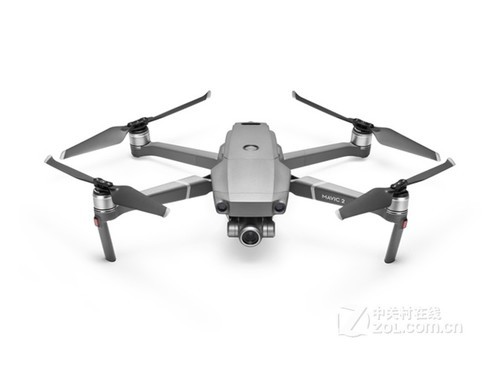 Drone surveying is utilized for various purposes, including land mapping, infrastructure inspection, agriculture assessments, and environmental monitoring. It provides accurate and detailed data for planning and analysis.
How accurate is drone surveying? Drone surveys are highly accurate, often within centimeters, depending on the equipment and techniques used. They offer a reliable alternative to traditional surveying methods.
Are there any limitations to using drones for surveying? Limitations include regulatory restrictions, flight time constraints, and potential interference from weather conditions. However, advancements in technology are continuously addressing these challenges.