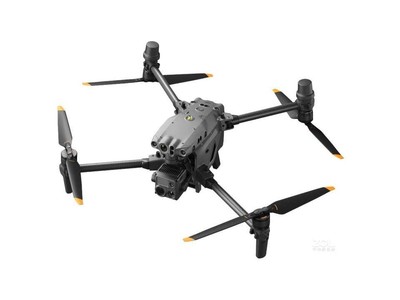
In recent years, drones have revolutionized multiple arenas including photography, agriculture, and search and rescue operations. However, as unmanned aerial vehicles (UAVs) continue to proliferate, it becomes essential to comprehend the restrictions imposed on their operation, particularly the concept of “drone no fly zone map.”
Understanding No Fly Zones
Drone no fly zones are designated areas where drone flights are prohibited or highly restricted. These zones may include locations such as airports, military bases, and national parks. The drone no fly zone map acts as a crucial tool for drone operators, helping them identify restricted areas to ensure compliance with regulations.
The Importance of No Fly Zone Maps
Maps depicting no fly zones are imperative for both amateur and professional drone pilots. By consulting these maps, operators can mitigate the risk of legal infractions and safety hazards. Detailed maps reveal sensitive areas where drones might interfere with air traffic, threaten wildlife, or compromise security.
Identifying Restrictions
Typically, no fly zones are defined by government agencies such as the Federal Aviation Administration (FAA) in the United States or the Civil Aviation Authority (CAA) in the UK. These organizations provide official maps highlighting zones with operational restrictions. It is important for drone enthusiasts to consult updated resources, as no fly zones can change frequently based on evolving legislation and airspace management needs.
Categories of No Fly Zones
No fly zones can be classified into several categories:
- Permanent No Fly Zones: Areas like airports or military installations that are always restricted due to high sensitivity.
- Temporary No Fly Zones: These might be established for events such as large gatherings, public holidays, or emergencies like wildfires.
- Advised No Fly Zones: While not legally enforced, flying drones in these areas poses potential safety risks or privacy concerns.
Technological Solutions
With the surge in drone usage, tech companies have developed innovative apps that integrate drone no fly zone maps. These apps provide real-time updates, user alerts, and detailed mapping services. By utilizing these tools, drone operators can ensure that their flights remain within legal parameters and avoid potential fines.

Legal Implications and Safety Concerns
Operating drones within restricted airspace can result in severe consequences, including fines, drone confiscation, or legal action. Understanding no fly zone maps is crucial for maintaining safety, as they help prevent interference with critical infrastructure and protect public privacy.
Innovative Mapping Technologies
Recent advancements in geospatial technology have allowed for the development of up-to-date and highly precise drone no fly zone maps. These tools facilitate safe navigation and enable pilots to plan their routes optimally.
User Responsibilities and Best Practices
Drone owners must adopt responsible flying practices, which include pre-flight research using no fly zone maps. Engaging in forums and discussions or gaining insights from online communities can further enhance understanding and compliance.
FAQs
What happens if I inadvertently fly into a no fly zone?
If you inadvertently enter a no fly zone, safely grounding your drone at the earliest opportunity is crucial. Contact relevant authorities to report the incident and follow their guidelines to rectify the situation.
Are drone no fly zone maps subject to change?
Yes, no fly zone maps are dynamic and can change due to evolving regulations or situational factors like emergencies or large-scale events. Regular consultation of authoritative resources is advised.
How accurately do apps represent no fly zones?
Most apps rely on real-time data updates and official maps, offering highly accurate representations of no fly zones. However, verification through multiple sources is ideal to ensure comprehensive awareness and compliance.