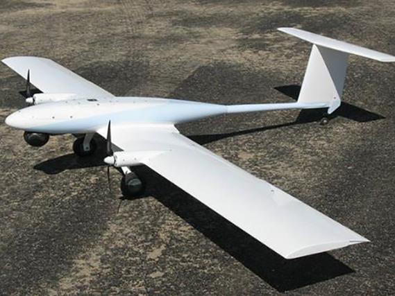
In today’s rapidly evolving technological landscape, drone technology has made a significant impact across various sectors, including mapping, surveying, and environmental monitoring. As drone usage expands, the need for a reliable drone scanner app becomes more apparent. This article explores the top applications that provide seamless mapping capabilities, enabling users to capture, analyze, and interpret data effectively.
Leading Drone Scanner Apps
The advancement in drone applications has brought forth numerous apps, each offering unique features tailored to specific needs. In the quest for seamless mapping with a drone scanner app, here are a few standout options:
1. DJI GS Pro: A professional-grade app designed for aerial mapping professionals, allowing comprehensive flight planning and autonomous missions while ensuring precision and efficiency.
2. Pix4Dcapture: Connects seamlessly with drones to automate capturing aerial data for 2D and 3D modeling, offering versatility for both beginners and experienced pilots.
3. DroneDeploy: Known for its ease of use and powerful processing capabilities, DroneDeploy offers real-time data mapping and analysis, making it ideal for various industries, from agriculture to construction.
4. PrecisionMapper: Provides an array of mapping tools that transform raw data into actionable insights, perfect for those needing detailed analytics for their projects.
5. Maps Made Easy: As the name suggests, this app simplifies the process of creating high-resolution maps, accommodating users who prefer a straightforward approach.
Features to Consider
When selecting a drone scanner app, it’s crucial to consider features that align with your goals:
<
- Compatibility: Ensure the app works well with your drone model.
- User Interface: A friendly and intuitive interface enhances the user experience, reducing the learning curve.
- Mapping Precision: High accuracy in mapping is vital for professional applications.
- Data Export Options: Flexibility in exporting data into various formats supports further analysis and reporting.
The Integration of AI and Drone Tech
Artificial Intelligence (AI) in drone scanner apps promises further advancements, making mapping and data analysis faster and more accurate. These apps leverage AI to process imagery, recognize patterns, and predict changes in landscapes over time, enhancing decision-making processes.
Future Trends
The drone industry’s future will likely see the integration of more sophisticated AI algorithms into drone scanner apps. Such advancements could lead to smarter, more autonomous drones capable of navigating complex environments without human intervention.
Safety and Regulations
Despite the numerous benefits that drone scanner apps offer, operators must be mindful of local regulations and safety precautions. Flying drones in restricted areas without permission may lead to legal complications, and ensuring safety protocols during flight is paramount for both operators and those on the ground.
FAQs
What should I look for in a drone scanner app?
Prioritize features like compatibility with your drone, ease of use, mapping precision, and robust data export options to ensure that the app meets your specific needs.
Can I use these apps for both personal and commercial purposes?
Yes, most drone scanner apps are versatile and can be used for various applications, whether for personal exploration or commercial purposes, provided you comply with local laws and regulations.
How is AI changing the use of drone scanner apps?
With AI integration, drone scanner apps are becoming more efficient at processing data, enabling users to obtain more accurate maps and insights while reducing manual intervention and enhancing operational efficiency.